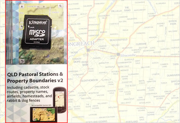
QLD pastoral Stations and Property Boundaries v2 on SD card
| This mapping product has been designed for use in Garmin GPS units. It contains searchable pastoral stations names (or lot plan number where the stations name is not available). , property boundaries including the DCDB, stock routes, airfields, homestead locations and rabbit and dog fences for QLD. The mapping is preloaded onto a micro SD card (with a full size SD adaptor) and will work in any compatible Garmin GPS. (Compatible List available upon request). | ||
|
Scroll down page for details
|
||
|
|
||
|
||
|
Return to previous page Click Here |

